Exploring the history of a Charlotte Harbor Fish Shack in Florida | PowerBoat TV Boating Destination
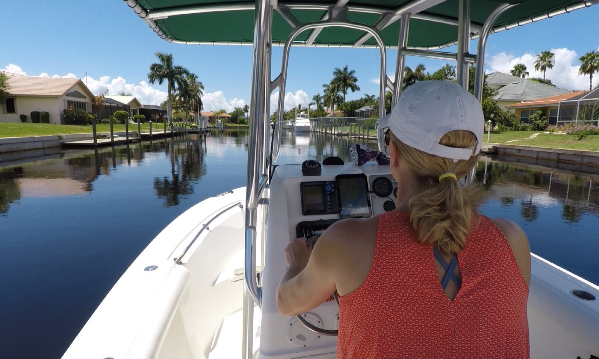
Punta Gorda Isles (PGI) Pompano Inlet

An Everglades Documentary: Follow the Water
Water Life Magazine has sunset
Water Life was a free monthly online and in print magazine that concentrated on SW Florida fishing news. Sadly, this month, Feb 2022 was the final edition of a magazine that ran for several years and was part of the local landscape. The owner/editors, Michael and Ellen (also our neighbors) have retired and moved on to Colorado. Sadly, we saw their rental truck and car trailer loaded up and ready to go yesterday.
2022 PGI Canal Cleanup Day
Okeechobee Waterway Bridge and Lock Cheat Sheet
Source: Army Corps of Engineers (Jacksonville District)
Locks:
For up-to-date Lock information contact the shift operator 7 a.m. to 5 p.m. at:
St. Lucie Lock & Dam 772-287-2665 or 863-662-9148
Port Mayaca Lock & Dam 561-924-2858 or 863-662-9424
Moore Haven Lock & Dam 863-946-0414 or 863-662-9533
Ortona Lock & Dam 863-675-0616 or 863- 662-9846
WP Franklin Lock & Dam 239-694-5451 or 863-662-9908
Bridges:
Highway 78A swing bridge at Fort Denaud – Hendry County
• Horizontal Clearance = 80′
• Vertical Clearance = 9′ when closed
• Daily 6am to 10pm/After hours with 3 hour notice
• Bridge operates on Marine VHF Radio Channel 9
• 866-335-9696
• Located at Okeechobee Waterway Statute mile 108.2
LaBelle Highway 29 Drawbridge – Florida Dept. of Transportation
• Horizontal Clearance = 90′
• Vertical Clearance = 28′
• Daily 6am to 10pm/Closed M-F 7-9am & 4-6pm
• Bridge operates on Marine VHF Radio Channels 9/16
• 866-335-9696
• Located at Okeechobee Waterway Statute mile 103.0
Railroad (swing bridge) – South Central Florida Express Inc.
• Horizontal Clearance = 50′ (when open)
• Vertical Clearance = 5′
• Located at Okeechobee Waterway Statute mile 78.3
Highway 27 (fixed bridge) – Florida Department of Transportation
• Horizontal Clearance = 225′
• Vertical Clearance = 56′
• Located at Okeechobee Waterway Statute mile 78.4
Torry Island Bridge (swing bridge) – Florida Dep. of Transportation
• Horizontal Clearance = 50′ (when open)
• Vertical Clearance = 11′ (based on 12.56′ water level)
• Mon – Thurs 7am to 6pm
• Fri – Sun 7am to 7pm
• Bridge operates on Marine VHF Radio Channel 9
• Located at Okeechobee Waterway Statute mile 60.7
Highway 441 fixed bridge at Pt. Mayaca – FL Dept. of Transportation
• Horizontal Clearance = 90′
• Vertical Clearance = 55′ (based on 14.5′ water level)
• Located at Okeechobee Waterway Statute mile 38.8
Port Mayaca Railroad Bridge (lift type) S. Central FL Express, Inc.
• Horizontal Clearance = 56′
• Vertical Clearance = 49′ Up (based on 14.5′ water level)
• Vertical Clearance = 6′ Down (based on 14.5′ water level)
• Located at Okeechobee Waterway Statute mile 38.0
Highway 710 fixed bridge at Indiantown – FL Dept. of Transportation
• Horizontal Clearance = 90′
• Vertical Clearance = 55′ (based on 14.5′ water level)
• Located at Okeechobee Waterway Statute mile 28.1
Railroad Swing Bridge at Indiantown – CSX Railroad
• Horizontal Clearance = 47′
• Vertical Clearance = 6′ when closed (based on 14.5′ water level)
• Bridge operates on Marine VHF Radio Channel 9
• Located at Okeechobee Waterway Statute mile 28.2
Highway 76A-Arundel Bridge (fixed bridge) Florida Department of Transportation
• Horizontal Clearance = 90′
• Vertical Clearance = 55′ (based on 14.5′ water level)
• Located at Okeechobee Waterway Statute mile 17.0
Highway 873 drawbridge at Alva Lee County Department of Transportation
• Horizontal Clearance = 90′
• Vertical Clearance = 21′
• Daily 6am to 10pm/After hours with 3 hour notice
• Bridge operates on Marine VHF Radio Channels 9/16
• 866-335-9696
• Located at Okeechobee Waterway Statute mile 116.0
Punta Gorda Isles canal system | Tarpon Inlet | Part 2
Hello, and welcome back to another video brought to you by Chris Mann! This is the second in our series showcasing a real time boat ride down Tarpon Inlet, located in Punta Gorda Isles (PGI). In this video we show you the Tarpon Inlet from the Marion Ave. Bridge south to Yellow Tail Lagoon and Sandfish Cove. We’ll talk about water depths, bridge clearances, and other issues important to local boaters.
References:
Punta Gorda “BOATS, DOCKS, AND WATERWAYS” http://www.ci.punta-gorda.fl.us/home/…
ISLES YACHT CLUB: islesyc.comfishville.com/marina Laishley Park Municipal Marina laishleymarina.com
US Coast Guard Marin Sanitation Devices: https://www.dco.uscg.mil/Our-Organiza…
Punta Gorda Isles canal system | Tarpon Inlet | Part 1
A real time boat ride down the primary canal (Tarpon Inlet) ruining north-south through Punta Gorda Isles (PGI) in Punta Gorda, FL. Tarpon Inlet, from the Marion Ave bridge north, provides sailboat and powerboat access to the Peace River, Charlotte Harbor, and access to the Gulf of Mexico. You can seen many beautify waterfront homes in PGI that can accommodate a large bigger draft powerboats and sailboats in their backyards.
Tarpon Inlet provides access to homes on the following streets: Colony Point Dr. Aqua Court Bay Court Rio Court Luna Court Hibiscus Dr. Hibiscus Court West Marion Ave (limited) Coral Way Bayshore Court
Referenced Articles:
Hughes, Carolyn. “A Look at Punta Gorda Isles.” The Washington Post, WP Company, 10 Sept. 1977, www.washingtonpost.com/archive/realestate/1977/09/10/a-look-at-punta-gorda-isles/791bdad5-38d9-4ce9-9c29-fa1dd94e3882/.
“City of Punta Gorda, FL.” History of Punta Gorda | City of Punta Gorda, FL, www.ci.punta-gorda.fl.us/about/history.
Pompano Inlet | PGI | Punta Gorda, Florida
A brief look at part of the Punta Gorda Isles (PGI) canal system in Charlotte Harbor. In this video we focus on Pompano Inlet. Pompano inlet is a deep channel connecting several of the central PGI canals (listed below) to the Peace River, and Charlotte Harbor. It’s also the passage used to get in and out of the PGI Yacht Club located at the end of Marlin Cove. Pompano Inlet is the passage to get to the following canals in PGI.
Sailboat water canals:
Sheepshead Bay
Porpoise Cove
Bass Bay
Snook Bayou
Turtle Bay
Dolphin Inlet
Grouper Cove
Marlin Cove
Bonita bay
Northern part of Sailfish Estuary
Small powerboat, Non-sailboat water (restricted by W. Marlon Ave Bridge)
Barracuda Bayou
Shark Cove
Sailfish Estuary
Cero Bay
Mackerel Lagoon
Redfish Inlet
Swordfish Strait
Yellowtail Cove
Starfish Lagoon
Snapper Strait
Ladeyfish Bay
Angelfish Cove
Catfish Bayou
Devilfish Bay
Dogfish Inlet
Moonfish Lagoon