Credit to FL Reel Estate TV and Fishin Franks for this gem.
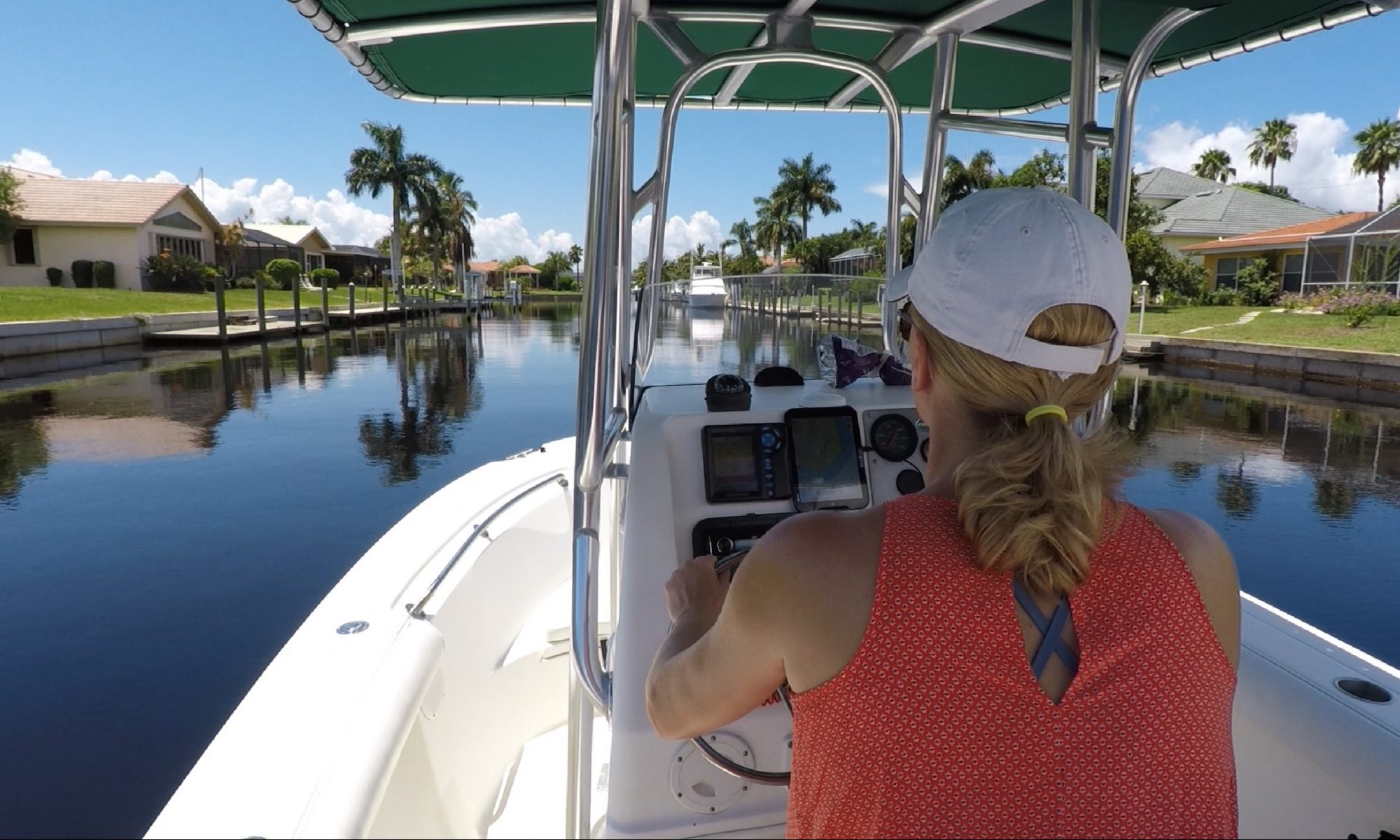
Love fishing? You can fish where you live!

Areas surrounding Charlotte Harbor are the perfect place for new home buyers who love fishing and telling fish tales. Located on the Gulf of Mexico, this coastal town offers a diverse range of fish species that can be caught throughout the year and a whole lot of fun along the way.
As the months change, so do the types of fish that can be found in the waters surrounding the bay, and the opportunities for creating family memories and those never exaggerated fish stories.
In January, anglers can expect to catch sheepshead, redfish, and black drum. These species are known for their tough exterior, but they’re softies when it comes to a good joke. Sheepshead, in particular, are a favorite among local fishermen as they are known for their delicate white meat. They can be caught around the docks and piers around the harbor and canals, making them a popular target for those who like to fish from shore and tell a good joke.
February brings in the start of snook season. Snook, also known as the “linesider,” is a popular game fish in Florida and is highly sought after by both recreational and commercial fishermen. They are known for their hard fighting and acrobatic jumps, making them a thrilling catch. They can be found near the inlets, bridges, and mangrove shorelines and can be caught on live bait or lures, and some good luck.
March is the time for tarpon to arrive in Charlotte Harbor. Tarpon are considered one of the most challenging and exciting fish to catch, and are a favorite among anglers who love to fight big fish. Tarpon can grow up to 8 feet long and weigh over 200 pounds, and are known for their incredible power and strength, and sense of humor. No, we just made that last part up. They can be caught near the beaches and inlets, and are often caught on live bait or artificial lures.
April brings in the red snapper season. Red snapper is a popular eating fish, known for its flaky white meat and delicious flavor. They can be caught in deep waters, near offshore oil rigs, and can be caught using live or dead bait. Red snapper is one of the most sought after fish in the Gulf of Mexico and is a staple of many local restaurants in Punta Gorda.
And the list goes on, but you get the point! Whether you’re looking to catch a fish, or just looking for a good laugh, Charlotte Harbor has it all. So, why wait? Buy your new home today and join in on the fun!
Common fish found around Punta Gorda Isles and other canals connected to Charlotte Harbor.
In and around Punta Gorda Isles, the type of fish that can be caught varies depending on the month of the year.
January through April: Redfish, Snook, Trout
May through August: Tarpon, Snook, Grouper
September through December: Redfish, Snook, Trout
Note: These are just general guidelines and actual fish species and your success in finding them will vary depending on weather, tides, and other factors.
Backyard snook lights

Installing a snook light under your dock can be an effective way to attract snook and other predatory fish to your fishing area. Snook are nocturnal feeders, and the bright green light can attract small baitfish and crustaceans, which in turn can attract larger predatory fish like snook.
A snook light typically consists of a bright, underwater light that is mounted on a dock or pier. The light attracts small organisms, which in turn attract larger predatory fish that feed on them. Snook and other fish such as catfish are particularly drawn to the light and will often congregate in the area, making them easier to watch or catch.
When installing a snook light, it is important to follow the manufacturer’s instructions and to ensure that the light is properly secured and wired in with a GFCI power source. Additionally, it is important to note that the use of lights in some areas may be regulated, so be sure to check with your local restrictions or HOAs before purchasing a snook light.
An Executive Summary of PGI’s History

Punta Gorda Isles (PGI) is a residential community in Punta Gorda, Florida, located in Charlotte County on the west coast of Florida. PGI is surrounded by the Peace River, and Charlotte Harbor. It is also a short run by boat to the Gulf of Mexico, making it a popular destination for boaters and nature enthusiasts. The history of PGI is intertwined with the modern history of Southwest Florida, which dates back to the late 1800s.
In the mid-1800s, the area was inhabited by the Calusa Indians. This Native American tribe lived in the area for thousands of years until the arrival of Spanish settlers in the late 1500s displaced them. The Spanish were followed by the English. By the late 1800s, the area had transformed into a hub for commercial fishing and agriculture thanks to the railroad.
In the early 1900s, the land that is now PGI was owned by a few large landowners and was primarily used for farming and ranching. However, as the population of Punta Gorda grew, the demand for housing increased, so the land was developed into the waterfront residential community that is now PGI.
The first PGI houses were built in the 1960s, and the community quickly became a popular destination for retirees and second-home buyers in northern states. The homes in PGI were designed to take advantage of the beautiful natural surroundings, and many featured large windows, balconies, and expansive views of the waterways and nature preserves.
In the late 1900s, PGI became a popular destination for boaters and fishing enthusiasts, as the waterways surrounding the community provide access to some of the best fishing and boating opportunities in Florida. The area is home to several marinas, parks, shopping boutiques, and nature preserves in the area that are popular with hikers and bird watchers.

One of the defining features of PGI is its canal system, which includes over 55 miles of canals and waterways. These canals provide access to the Gulf of Mexico and Charlotte Harbor and a stunning backdrop for many of the waterfront homes.
Another draw to PGI is its golfing community, which includes several golf courses and country clubs that are popular with residents and visitors alike. The golf courses and country clubs in PGI offer a range of amenities, including tennis courts, fitness centers, and dining options.
In recent years, PGI has become increasingly popular as a retirement destination due to its warm climate, beautiful natural surroundings, and sense of community. The community is home to many active retirees, and there are many clubs and organizations for residents to get involved in, including book clubs, gardening clubs, and boating clubs.
Despite its growth and popularity, PGI remains a close-knit community, and residents are committed to preserving its natural beauty and unique character. This is reflected in the community’s strict zoning laws, which ensure that new development is in keeping with the community’s existing character.
Punta Gorda Isles has a rich history that is intertwined with the history of Southwest Florida, and the natural beauty of the area has always been a draw for residents and visitors. Today, PGI is a thriving community home to many active retirees. It remains a popular destination in Florida for boaters, golfers, pickle ballers, and nature enthusiasts.
Punta Gorda Isles (PGI) Bridge Clearances
Click on bridge name below for more information
| Marker | Bridge | Boat Clearance | GPS |
| 1 | W. Marion Ave. over Tarpon Inlet | 13ft | 26°55’02” N, 82°05’11” W |
| 2 | W. Marion Ave. over Sail Fish Canal | 13ft | 26°55’17” N, 82°04’28” W |
| 3 | W. Marion Ave. over Bass Inlet | 13ft | 26°55’29” N, 82°03’53” W |
The Myakka River and Myakka River State Park
The Myakka River is a significant body of water in Florida, known for its ecological and historical importance. It is a tributary of the Peace River and is approximately 58 miles long. The river has a rich history dating back to the indigenous people of the area, and it has played a role in the development and growth of Southwest Florida
Indigenous people have inhabited the banks of the Myakka River for thousands of years. The area around the river was home to the Calusa people, who were one of the most advanced indigenous cultures in Florida. The Calusa relied on the river for their livelihood, using it as a source of food and water. They also used the river for transportation, fishing, and trade with other tribes. The Calusa were known for their intricate canal systems, which allowed them to control the flow of water in the Myakka River and its surrounding areas.
In the late 19th century, settlers began to move into the area along the Myakka River. The fertile land and abundant resources in the region attracted them. The settlers established farms, ranches, and fishing operations along the river, which helped spur the local economy’s development. In the early 20th century, the Myakka River was designated as a state park, which helped to protect the area’s natural resources and preserve its ecological significance.
The Myakka River State Park is now one of Florida’s largest state parks and a popular destination for outdoor enthusiasts. The park offers recreational activities such as hiking, camping, fishing, boating, and wildlife viewing. The Myakka River is home to a wide variety of plant and animal species, including manatees, alligators, and a number of bird species. The park is also home to several species of rare and endangered plants, making it an important site for conservation and preservation efforts.
The Myakka River has also played a significant role in the growth of the state of Florida. In the early 20th century, the river was used as a source of freshwater for the growing populations of Sarasota and Charlotte counties. The water from the Myakka River was also used to irrigate crops and to power local industries. The river was also used to transport goods and supplies to and from the nearby cities and towns.
In recent years, the Myakka River has faced numerous challenges, including pollution and overdevelopment. The increasing population in the surrounding areas has put pressure on the river’s resources, leading to concerns about its long-term ecological health. In response to these challenges, local and state officials have implemented a number of measures to protect the river and its surrounding area, including creating new conservation areas and implementing regulations to control pollution.
The Myakka River has a rich and diverse history, reflecting the many different communities and cultures that have called the area home over the years. From its early importance to the area’s indigenous people to its role in the development and growth of the state of Florida, the Myakka River remains a vital and significant body of water. Today, the river is protected by the Myakka River State Park and is a popular destination for outdoor enthusiasts and those who are interested in preserving the state’s natural resources and ecological heritage.
History of the Okeechobee Waterway
The Okeechobee Waterway is a man-made waterway located in the state of Florida, USA. It stretches from the Atlantic Ocean to the Gulf of Mexico and covers a distance of approximately 140 miles. The waterway was created to provide a navigable route for ships, barges, and other vessels that needed to travel between the east and west coasts of Florida.
The history of the Okeechobee Waterway can be traced back to the late 19th century, when Florida was experiencing a significant population boom. This growth, along with the state’s expanding agricultural and industrial sectors, led to an increased demand for a reliable means of transporting goods between the two coasts. In response, the U.S. Army Corps of Engineers was tasked with creating a waterway that would connect Lake Okeechobee to both the Atlantic Ocean and the Gulf of Mexico.
Construction of the Okeechobee Waterway began in the early 1920s and was completed in 1937. The project involved digging a series of canals and locks that would allow vessels to travel from one coast to the other without having to navigate around the state of Florida. The waterway was designed to provide a safer and more efficient means of transportation, as well as a means of flood control for the surrounding area.
Since its completion, the Okeechobee Waterway has played an important role in the economic growth of Florida. The waterway has become a major shipping route for goods, such as agricultural products and building materials, and has provided a reliable means of transportation for commercial fishing boats, recreational boats, and other vessels. The waterway has also become a popular tourist destination, attracting thousands of visitors each year who come to enjoy the scenic beauty and recreational opportunities that it provides.
In the decades following its construction, the Okeechobee Waterway has undergone a number of improvements and upgrades. The locks and other infrastructure have been regularly maintained and improved, and new technologies have been implemented to improve navigation and safety. The waterway has also been the subject of ongoing efforts to control the spread of invasive species, such as the giant salvinia, which can harm the ecosystem and impact the water quality.
Despite its many benefits, the Okeechobee Waterway has faced a number of challenges over the years. One of the biggest challenges has been the impact of storms and hurricanes, which have caused damage to the locks, canals, and other infrastructure. The waterway has also been affected by environmental concerns, such as the need to control the discharge of pollutants into the water and the impact of development on the surrounding ecosystem.
Despite these challenges, the Okeechobee Waterway remains an important asset for Florida and continues to play a vital role in the state’s economy. Today, the waterway is widely recognized as one of the most important waterways in the United States, and it continues to provide a vital connection between the east and west coasts of Florida. Whether as a shipping route, a tourist destination, or simply a place to enjoy the beauty of Florida’s natural environment, the Okeechobee Waterway remains a key part of the state’s history and heritage.Regenerate response
Birdwatching
Southwest Florida is a top birdwatching destination, offering some of the best birdingwatching in the country. From the beaches to the mangroves, this region is home to an incredible range of species, making it a must-visit for any avid birdwatcher.
A popular birdwatching site in Southwest Florida is the J.N. “Ding” Darling National Wildlife Refuge located on Sanibel Island. This 6,400-acre refuge is home to over 245 species of birds, including the Roseate Spoonbill, the Wood Stork, and the Reddish Egret. Visitors can take guided birdwatching tours, hike the trails, and observe the birds from various observation towers and blinds.
Another great birdwatching destination in Southwest Florida is the Ten Thousand Islands National Wildlife Refuge near Marco Island. This refuge is a stopover point for migratory birds and provides critical habitat for a variety of bird species, including the American White Pelican, the Osprey, and the Reddish Egret. Visitors can take guided boat tours, kayak or canoe in the mangroves, or hike the trails to observe the birds.
In addition to these havens, Southwest Florida also offers excellent birdwatching opportunities along its many beaches, estuaries, and waterways. With its abundant wildlife and breathtaking landscapes, Southwest Florida is a birdwatcher’s dream.
So if you’re a birdwatcher looking for your next adventure, head to Southwest Florida and discover the incredible variety of bird species that call this region home. You won’t be disappointed.
The Peace River
The Peace River is a stunning waterway that runs through central Florida, USA, and has played a significant role in the history and development of the region. The river stretches 120 miles, originating in the Green Swamp near the Polk and Hillsborough County line and flowing into Charlotte Harbor on the Gulf of Mexico.
The river has been a vital source of water, food, and transportation for the indigenous populations that lived in the area for thousands of years. The Native Americans who lived along the Peace River and its tributaries relied on the river for fishing and hunting, as well as for irrigation and transportation. They also used the river as a source of freshwater, which was essential for their survival in the often-arid Florida climate.
In the late 1500s and early 1600s, Spanish explorers arrived in the region and established missions along the Peace River. The Spanish were attracted to the area because of its abundant natural resources and strategically-important location, which allowed them to control access to the Gulf of Mexico. The Peace River became an important transportation route for the Spanish as they expanded their control over the region.
In the early 1800s, American settlers began to arrive in the region, and the Peace River quickly became an important transportation route for them as well. The river was a vital link between the Gulf of Mexico and the interior of Florida, and was used by merchants and settlers to transport goods and supplies. The river was also used by the U.S. military during the Seminole Wars, which lasted from 1817 to 1858, as they tried to capture or remove the Seminole people from Florida.
Throughout the 19th and early 20th centuries, the Peace River remained a vital transportation route, but its importance diminished as railroads and roads were built in the region. The river was still used by locals for fishing, hunting, and as a source of freshwater, but its significance as a transportation route declined.
In the mid-20th century, the river began to gain attention again as the region’s population grew and the demand for water increased. In the 1950s, the Peace River was identified as a potential source of water for the rapidly-growing city of Tampa, and the Peace River Basin Board was established to manage the river’s water resources. The board was later replaced by the Southwest Florida Water Management District, which continues to manage the river’s water resources to this day.
Today, the Peace River is still an essential source of fresh water for central Florida, but its significance goes beyond just water. The river is now a popular destination for outdoor recreation, such as fishing, boating, and kayaking, and is home wildlife such as alligators, manatees, and a wide range of bird and fish species. The river is also a significant ecological resource, as it provides habitat for a variety of plants that and also helps to recharge the region’s aquifers.
In conclusion, the Peace River has a rich history and has played a significant role in the development and growth of central Florida. The river has been a source of water, food, and transportation for thousands of years, and continues to be an important resource for Southwest Florida today. Whether you’re looking for a place to fish, kayak, or just enjoy the beauty of nature, the Peace River is a must-visit destination.